DILRMP 3.0 is set to launch this evening with a GIS-enabled 'Land Stack'
The ₹565.5-crore phase is designed to integrate maps, records and digital land administration from 2026 to 2031.
THE INDIQA Desk10 Sept 20261 minPolity & Governance
60-Second Summary
The next phase of land-record modernisation aims to integrate records and maps through a GIS-enabled Land Stack, but data accuracy and dispute resolution remain as important as digitisation.
UPSC Relevance
PrelimsHigh
MainsGS-II · GS-III · High
SubjectPolity & Governance, Government Schemes & Reports, Economy
TopicPolity & Governance
Importance★★★★☆
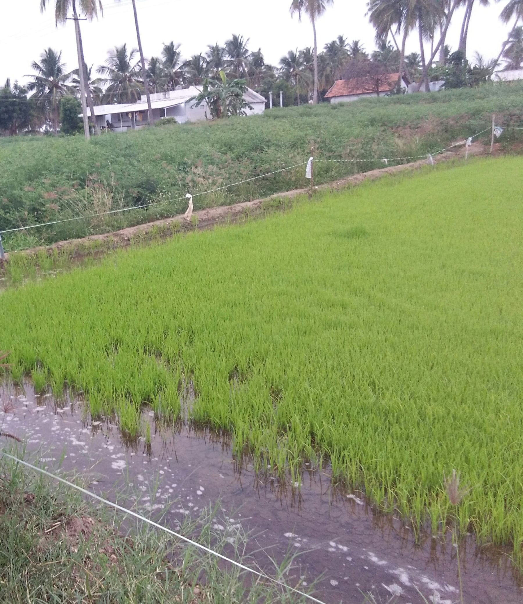
Image: Parvathisri / Wikimedia Commons - CC0
The Centre is scheduled to launch the third phase of the Digital India Land Records Modernization Programme on the evening of September 10. The new phase has an outlay of ₹565.50 crore for 2026-31 and places a GIS-enabled Land Stack at the centre of the next round of digitisation.
Land administration is not simply an IT problem. A digital record can still reproduce old disputes if ownership, boundaries or mutation records are inaccurate. The value of an integrated land stack therefore depends on data quality, survey accuracy, interoperability and accessible grievance redress.
The programme is relevant to both governance and the economy. Clearer records can reduce transaction friction, support credit and infrastructure planning, and improve service delivery. But digitisation should be treated as a tool for better administration, not automatic proof that every land-title dispute has been resolved.
Prelims Lens
Prelims Lens
DILRMP is a centrally supported land-record modernisation programme.
GIS links data to geographic locations and boundaries.
Mains Lens
Mains Lens
Central issue: The ₹565.5-crore phase is designed to integrate maps, records and digital land administration from 2026 to 2031.